Citizenship Test: Yukon Territory Guide
Study Yukon for the citizenship test: capital Whitehorse, a territory since 1898, the Klondike Gold Rush, Mount Logan, First Nations and practice questions.
Yukon is a northern territory, not a province, whose capital is Whitehorse, and it became a separate territory in 1898. For the citizenship test, the essentials are that Yukon is a territory, its capital is Whitehorse, and it was created during the famous Klondike Gold Rush. Add Mount Logan, the Alaska border and the Yukon First Nations and you have everything the test is likely to ask.
Territory, not a province
Yukon is one of Canada's three territories, alongside the Northwest Territories and Nunavut. Provinces and territories differ in how they are governed: territories receive more of their authority from the federal government. Because the test likes to check this distinction, remember that Yukon is a territory.
What makes a territory different from a province
Provinces hold their powers under the Constitution Act of 1867, while territories exercise powers that Parliament has delegated to them by law. In everyday terms the difference is small: Yukon has its own elected Legislative Assembly in Whitehorse, a premier and cabinet, and it runs schools, hospitals and highways. Unlike the other two territories, Yukon uses political parties, so its elections look much like a provincial election. Yukon sends one member to the House of Commons and one senator to Ottawa.
Capital and region
Whitehorse is the capital of Yukon and by far its largest community, home to most of the territory's people. It sits on the Yukon River in the southern part of the territory and takes its name from rapids that reminded early travellers of the manes of white horses. The territory sits in Northern Canada, in the country's northwest corner, and it borders Alaska, part of the United States, to the west, British Columbia to the south and the Northwest Territories to the east.
A short history in five dates
- For thousands of years: Yukon First Nations lived, hunted and traded across the region long before any European arrived.
- 1896: gold was found on Bonanza Creek, near the Klondike River, by George Carmack, Skookum Jim and Dawson Charlie, setting off the Klondike Gold Rush.
- 1898: with tens of thousands of prospectors pouring in, Parliament created Yukon as a separate territory with Dawson City as its capital.
- 1942: the Alaska Highway was built through Yukon during the Second World War, turning Whitehorse into the territory's transport centre.
- 1953: the capital moved from Dawson City to Whitehorse, where it remains today.
How it became a territory
Yukon became a separate territory in 1898, during the Klondike Gold Rush of 1896 to 1899. The rush centred on Dawson City, where the discovery of gold drew tens of thousands of prospectors north in a few short years. Most came through Alaska and hauled a year's supplies over the Chilkoot Pass before floating down the Yukon River to the goldfields.
That sudden surge of people and activity is the reason Yukon was set apart from the Northwest Territories as its own territory, with its own government and police presence. The Gold Rush remains one of the most memorable chapters in Canada's northern history, kept alive by the poems of Robert Service and by Dawson City's preserved wooden storefronts.
Geography and landscape
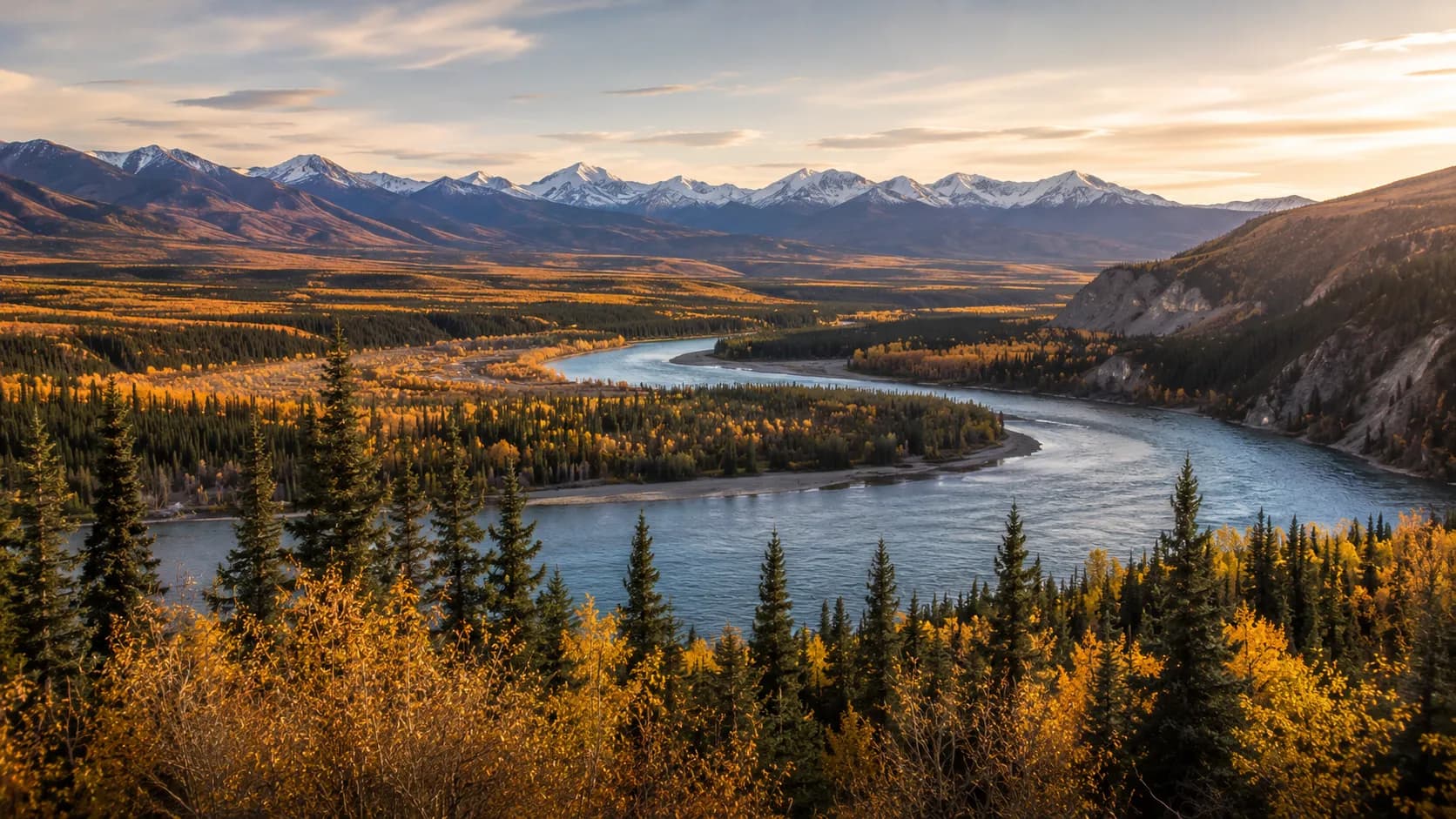
Yukon is a land of mountains, rivers and long winters. Mount Logan, in the territory's southwest, is the highest mountain in Canada, a fact that appears in study material about the country's geography. It stands inside Kluane National Park, which also holds the largest icefields outside the polar regions. The Yukon River gives the territory its name and flows northwest through Whitehorse and Dawson City into Alaska.
Like the rest of the north, Yukon experiences very long summer days and short, dark winter days, along with striking displays of the northern lights. Dawson City is close enough to the Arctic Circle that the sun barely sets in June.
Climate and daily life in the North
Winters are cold and dark, with temperatures in Whitehorse often below minus 20 degrees Celsius and much colder in the interior, while summers are short, dry and bright. Unlike most of Nunavut, Yukon is connected to the rest of Canada by road: the Alaska Highway runs through Whitehorse, and the Klondike Highway reaches Dawson City. The Dempster Highway then crosses the Arctic Circle toward the Northwest Territories.
The cost of living is higher than in southern cities because most goods are trucked in over long distances, and housing in Whitehorse is in short supply. Still, the territory's small population, outdoor lifestyle and strong sense of community make it a place many newcomers choose to settle.
Communities beyond the capital
Outside Whitehorse, Yukon's communities are small and far apart. Dawson City, the former capital, keeps its Gold Rush look and still draws visitors every summer. Watson Lake, on the Alaska Highway near the British Columbia border, is known for its forest of thousands of road signs left by travellers. Haines Junction is the gateway to Kluane National Park, and Old Crow, the northernmost community, has no road access and is home to the Vuntut Gwitchin First Nation.
Indigenous peoples, languages and culture
Yukon has a strong First Nations presence, and the Yukon First Nations have lived on this land for thousands of years, well before the Gold Rush. There are fourteen Yukon First Nations, and their languages belong mainly to the Athabaskan family, with Tlingit spoken in the south. Their history and land agreements are an important part of the territory's identity.
In 1993 the Yukon First Nations, Canada and the territory signed the Umbrella Final Agreement, a framework under which most Yukon First Nations have since negotiated land claim and self-government agreements. These agreements give First Nations control over their own lands, laws and services, and they are often cited as a model for other parts of Canada.
People, culture and economy
The economy rests on mining and tourism, with visitors drawn by the Gold Rush heritage, the wilderness and the mountains. Mining today means gold, silver, copper, lead and zinc rather than pans in a creek, and government is the largest employer in Whitehorse. Yukon's culture blends First Nations traditions, Gold Rush lore and the independent spirit of people who choose to live in a small, remote place. You can group facts like these using the chapter quizzes before moving on to full exams.
Practice questions
- What is the capital of Yukon? (a) Dawson City (b) Whitehorse (c) Yellowknife (d) Iqaluit. Answer: (b). Dawson City was the first capital, but Whitehorse has been the capital since 1953.
- True or false: Yukon is a province. Answer: false. Yukon is one of Canada's three territories.
- Which event led to the creation of Yukon as a territory in 1898? (a) the fur trade (b) the Klondike Gold Rush (c) the building of the railway (d) the War of 1812. Answer: (b). The Gold Rush of 1896 to 1899 brought tens of thousands of people to the Klondike.
- What is the highest mountain in Canada? (a) Mount Robson (b) Mount Logan (c) Mount Everest (d) Mount Royal. Answer: (b). Mount Logan, in southwest Yukon, is Canada's highest peak.
- Which American state borders Yukon to the west? (a) Washington (b) Montana (c) Alaska (d) Idaho. Answer: (c). Yukon shares a long border with Alaska.
- Which river gives the territory its name? (a) the Mackenzie (b) the Fraser (c) the Yukon (d) the Columbia. Answer: (c). The Yukon River flows through Whitehorse and Dawson City into Alaska.
Common mistakes and mix-ups
- Answering Dawson City as the capital: it was the capital during the Gold Rush, but Whitehorse has held that role since 1953. The test expects Whitehorse.
- Mixing up Whitehorse and Yellowknife: both start with a colour and both are territorial capitals, but Whitehorse is in Yukon and Yellowknife is in the Northwest Territories.
- Placing the Gold Rush in British Columbia: the Klondike is in Yukon. British Columbia had its own, earlier gold rushes in the 1850s and 1860s.
- Confusing 1898 with 1870: 1870 is when the northern lands joined Canada; 1898 is when Yukon was split off as its own territory.
- Thinking Yukon borders the Pacific: it does not touch the ocean. Alaska lies between Yukon and the Pacific, though Yukon does reach the Arctic Ocean in the far north.
What the test may ask
For the citizenship test, know that Whitehorse is the capital, that Yukon is a territory in Northern Canada, and that it was linked to the Klondike Gold Rush. Being able to name Mount Logan as Canada's highest mountain is a useful bonus. All of these details come from the official guide, Discover Canada, which is the only source the test uses.
The official test has 20 questions, and you must answer 15 correctly (75%) to pass, within 45 minutes online. Repeated practice makes these facts automatic. Try a timed practice exam when you are ready; the app is free and needs no signup.
Key facts recap
- Status: a territory, not a province
- Capital: Whitehorse, on the Yukon River (Dawson City was the capital until 1953)
- Became a territory: 1898, during the Klondike Gold Rush of 1896 to 1899
- Region: Northern Canada, bordering Alaska to the west
- Mount Logan is the highest mountain in Canada
- People: fourteen Yukon First Nations with modern self-government agreements
- Economy: mining and tourism
Reinforce these details with spaced review sessions so Yukon's capital and Gold Rush story stay sharp for test day.