
25 Canadian Citizenship Test Geography Questions
25 Canadian citizenship test geography questions with answers: the five regions, three oceans, borders, Great Lakes, Prairies, the North, and key cities.
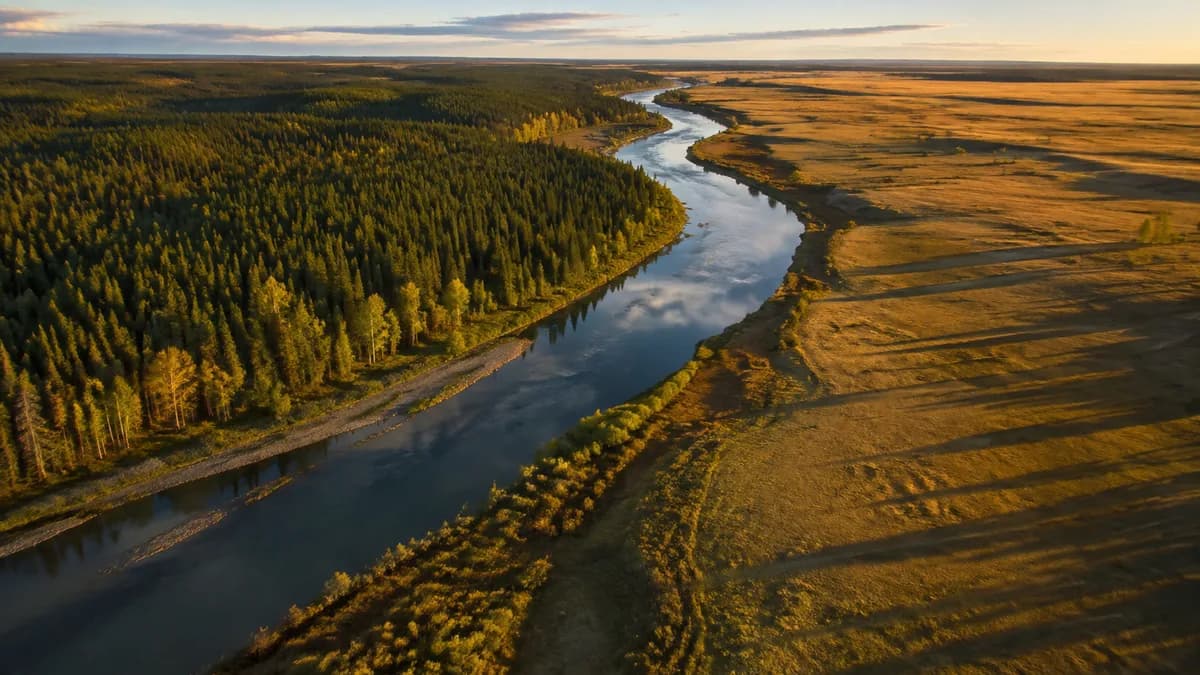
Geography is only a small share of the 20 questions on the Canadian citizenship test, but the five regions, the three oceans, the capital, and the largest city come up in almost every draw. Here are 25 practice questions with the correct answer and a one-line explanation for each, all taken from the official Discover Canada study guide.
In practical terms, expect a handful of geography questions on test day, fewer than history or government, but enough to make the difference when the pass mark is 15 correct out of 20. The good news: the geography in the guide is a small, highly predictable territory. The 25 questions below cover most of that ground. To see how this topic fits into the exam as a whole, check our guide to citizenship test questions by topic.
One method tip before you start: read each question, say your answer out loud or in your head, and only then check it. Active recall is what locks facts into memory, not passive rereading.
The five regions of Canada (questions 1 to 5)
The Discover Canada guide divides the country into five regions, and the exam regularly asks you to name them or to place a province in the right one. This is the skeleton of all the geography in the guide: once you master the five regions, everything else hangs off them naturally. For a detailed walkthrough of each one, read The Five Regions of Canada.
Question 1. How many regions does Canada have? Answer: five. The official guide organizes the entire country into five distinct regions, each with its own climate, economy, and settlement pattern.
Question 2. What are the five regions of Canada? Answer: the Atlantic Provinces, Central Canada, the Prairie Provinces, the West Coast, and the Northern Territories. Learn the list from east to west and then north: it is the easiest way to remember it.
Question 3. Which provinces make up Central Canada? Answer: Ontario and Quebec. Together these two provinces form the Central Canada region, described in the guide as the industrial and manufacturing heartland of the country.
Question 4. Which provinces are the Atlantic Provinces? Answer: Newfoundland and Labrador, Prince Edward Island, Nova Scotia, and New Brunswick. These four provinces sit on the Atlantic Ocean, which gives the region its name. The smallest of them has its own detailed page: Prince Edward Island.
Question 5. Which region do Yukon, the Northwest Territories, and Nunavut form? Answer: the Northern Territories, often simply called the North. The three territories together make up the fifth region of the country.
The three oceans and the border with the United States (questions 6 to 9)
Canada is bordered by three oceans, and the exam loves asking which one lies on which side. These look like free points, but under time pressure, mixing up east and west happens more often than you would think. Fix the mental picture once and for all: Pacific to the west, Atlantic to the east, Arctic to the north.
Question 6. Which ocean borders Canada on the west? Answer: the Pacific Ocean. British Columbia, on the West Coast, faces the Pacific directly.
Question 7. Which ocean borders Canada on the east? Answer: the Atlantic Ocean. The Atlantic Provinces take their name from this ocean, which runs along the country's east coast.
Question 8. Which ocean borders Canada to the north? Answer: the Arctic Ocean. Canada's Far North stretches to the shores of the Arctic, which explains the climate of the three territories.
Question 9. What does Canada share with the United States? Answer: the longest undefended border in the world. The United States lies to the south of Canada, and the guide presents this shared border as a symbol of the close relationship between the two countries.
The Great Lakes and the St. Lawrence (questions 10 to 13)
The Great Lakes and the St. Lawrence River shape the geography of Central Canada, and the exam asks very targeted questions about them. Remember two links above all: the Great Lakes sit between Ontario and the United States, and the St. Lawrence Seaway connects them to the Atlantic.
Question 10. Where are the Great Lakes located? Answer: between Ontario and the United States. The five Great Lakes are shared with the United States and border southern Ontario.
Question 11. What connects the Great Lakes to the Atlantic Ocean? Answer: the St. Lawrence Seaway. This waterway lets ships travel from the Atlantic deep into the heart of the continent.
Question 12. Along which waterway do most Quebecers live? Answer: the St. Lawrence River. The guide notes that the majority of Quebecers live along or near the St. Lawrence, an area settled for more than 400 years.
Question 13. In which region are the Great Lakes and the St. Lawrence found? Answer: in Central Canada, meaning southern Ontario and Quebec. The most heavily populated part of the country grew up around these waters.
The Prairies and the Rockies (questions 14 to 17)
Western Canada combines two very different images: the fertile plains of the Prairies and the mountains of the West Coast. The exam mainly tests whether you can name the three Prairie provinces and say what makes the region wealthy.
Question 14. Which three provinces are the Prairie Provinces? Answer: Manitoba, Saskatchewan, and Alberta. These three provinces form the Prairie region, between Ontario and British Columbia.
Question 15. What are the Prairie Provinces known for? Answer: they are rich in energy resources and have some of the most fertile farmland in the world. That is the guide's exact wording, and it appears in exam questions almost verbatim.
Question 16. Which great mountain range runs through western Canada? Answer: the Rocky Mountains. The Rockies rise between the Prairies and the Pacific coast and dominate the landscape of the West.
Question 17. What is British Columbia, the West Coast region, known for? Answer: its majestic mountains and its role as Canada's gateway to the Pacific. Sitting between the Pacific Ocean and the mountains, it forms the West Coast region on its own.
The Canadian North (questions 18 to 21)
The North is vast, sparsely populated, and heavily represented in the question bank, precisely because its numbers are so striking. One-third of the country's land mass, roughly 100,000 people: that contrast is exactly the kind of fact the exam likes to check.
Question 18. What are Canada's three territories? Answer: Yukon, the Northwest Territories, and Nunavut. They are territories, not provinces, a distinction the exam can also test.
Question 19. How much of Canada's land mass do the three territories cover? Answer: about one-third of Canada's area, with a population of only about 100,000 people. It is the largest and least populated region of the country.
Question 20. Why is the North called the land of the midnight sun? Answer: because at the height of summer, daylight can last up to 24 hours. In winter, by contrast, the sun disappears and darkness sets in for three months.
Question 21. What does the name Nunavut mean? Answer: "our land" in Inuktitut. Nunavut became a territory in 1999, making it the newest entity on the Canadian map.
Population, capital, and major cities (questions 22 to 25)
Population facts are among the most profitable to memorize: the capital, the largest city, the most populated region, and the country's size come up constantly. Four questions are enough to cover the essentials.
Question 22. Where do more than half of Canadians live? Answer: in cities in southern Ontario and Quebec, that is, in Central Canada. The Great Lakes and St. Lawrence region concentrates the majority of the country's population.
Question 23. What is the capital of Canada? Answer: Ottawa. Located on the Ottawa River, Ottawa was chosen as the capital in 1857 by Queen Victoria.
Question 24. What is the largest city in Canada? Answer: Toronto. It is also the country's main financial centre, a detail the guide mentions explicitly.
Question 25. Where does Canada rank in the world by area? Answer: it is the second largest country in the world. Watch out for the classic trap: second, not first.
How to study geography efficiently
The most effective method for geography comes down to three habits: visualize the map, recite the short lists out loud, and retest your mistakes until they disappear. Open a map of Canada, place the five regions, the three oceans, and the Great Lakes, then close it and redraw everything from memory. Short lists, like the three Prairie provinces or the four Atlantic provinces, should be recited east to west until they become automatic.
Always check your answers against the official source: the regions chapter of the Discover Canada study guide on canada.ca is the only reference the real questions are drawn from. Then turn reading into reflexes: drill the geography chapter as a quiz, and let spaced review bring back the questions you missed at exactly the right time.
Once your geography is solid, do not stop there: the same mechanics of short lists and quick facts apply to the Canadian symbols questions and the economy questions, two other topics where a little targeted review earns easy points.
Next step: from one topic to the full test
If you answered at least 20 of these 25 questions correctly, your geography is in good shape; if not, reread the sections you missed and run the set again. Geography will never hand you 20 points on its own, but it can cost you two or three if you neglect it, and that is exactly the margin that separates failing from passing at 15 out of 20.
Once this set is mastered, put it back in context: browse the other topics in our complete guide to questions by topic, then measure yourself under real conditions with a timed 20-question mock exam. On the day the regions, the oceans, and the major cities come up, you will answer without even thinking.